Comparison of The World From Space and Bonne Projections
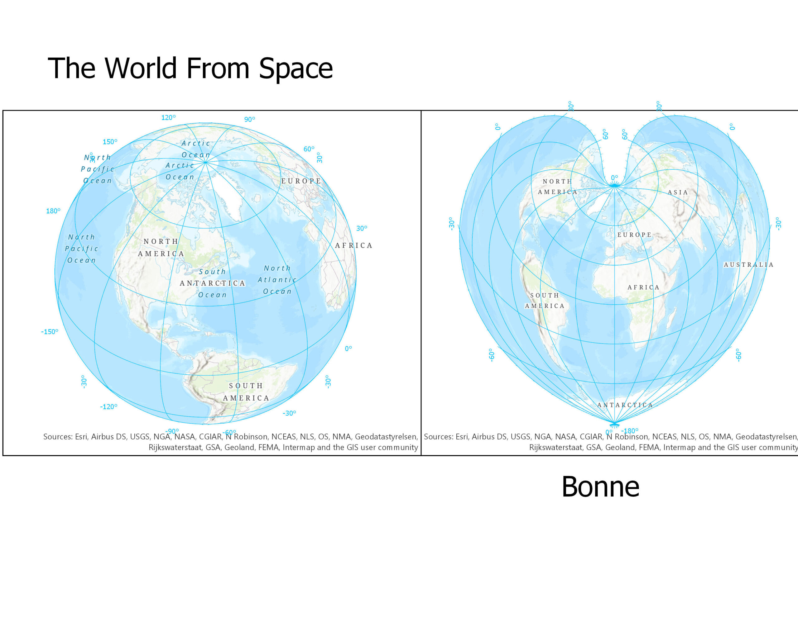
The World from Space Projection
This projection is thousands of years old. It was used by a geographer named Hipparchus, but due to the Library of Alexandria burning down, all of his original maps were lost. In 1613, the map was reintroduced by a Belgian cartographer named Francois d’Aiguilon who gave the projection its name that we know it by today.
The projection has geometric distortions to cause us to believe that we are looking at the world thousands of miles away with the continents wrapping themselves around the horizon. Its distortions and dimensions allow us to remember that the world’s shape really is a globe.
To understand more about this projection you can read this article: https://www.wired.com/2014/11/get-to-know-a-projection-azimuthal-orthographic/
Bonne Projection
This projection has a true scale across the central meridian. It also has equally spaced parallels and no distortion. This projection is usually used for continents or smaller regions.
This projection was used in the 19th and early 20th century. It was used to map continents such as Asia, Australia, Europe, and North America for atlas maps. It was replaced by the Lambert Azimuthal Equal Area projection.
[Assignment #3]